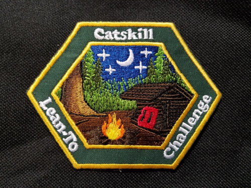
Catskill Lean-to Challenege
This list was created by Jason Pelton who lives in Schoharie County.

The Challenge
- Spend one night in every lean-to in the Catskill Park. Sunset to sunrise. Previous overnights do count toward this challenge.
- Volunteer with the NY/NJ Trail Conference, The Catskill 3500 Club, the Catskill Mountain Club or the Finger Lakes Trail Conference for one workshop or work trip in the Catskill Park.
Challenge Rules
- Follow the NYSDEC rules for primitive/lean-to camping.
- Leave No Trace - follow the tips on the DEC website to help us keep our natural areas clean and beautiful.
Volunteer
Click on the column headers below to order the list according to that column. Click on any lean-to's name to get a description.
At this time I have not created pages for each lean-to with descriptions or pictures. I will be working in these in the near future.
| Name | Lat - Long |
|---|---|
| Baldwin Memorial | 42.07038, -74.28784 |
| Tremper Mountain | 42.07408, -74.27911 |
| Campbell Mountain | 42.04885, -74.92667 |
| Trout Pond North | 42.01257, -74.94647 |
| Trout Pond South | 42.01144, -74.9481 |
| Pelnor Hollow | 42.00642, -74.86868 |
| Balsam Lake Mountain | 42.03951, -74.59631 |
| Beaver Meadow | 42.04871, -74.65899 |
| Fall Brook | 42.00011, -74.5593 |
| Long Pond | 41.93682, -74.63143 |
| Biscuit Brook | 42.00905, -74.48438 |
| Bouton Memorial | 41.96116, -74.40898 |
| Terrace Mountain | 42.0267, -74.33635 |
| Fox Hollow | 42.10293, -74.39391 |
| Mill Brook | 42.0686, -74.58608 |
| Dry Brook | 42.08179, -74.58715 |
| Kelly Hollow | 42.06709, -74.65457 |
| Pakatakan | 42.12983, -74.62589 |
| Rochester Hollow | 42.1368, -74.4518 |
| Hirschland | 42.1155, -74.4909 |
| Belleayre Mountain | 42.11852, -74.5054 |
| Rider Hollow | 42.09815, -74.50955 |
| McKenley Hollow | 42.07528, -74.48517 |
| John Robb | 42.18886, -74.24086 |
| Diamond Notch | 42.16953, -74.25622 |
| Devil's Acre | 42.16584, -74.23099 |
| Mink Hollow | 42.13494, -74.16318 |
| Devil's Kitchen | 42.1189, -74.08765 |
| Echo Lake | 42.09817, -74.09117 |
| Batavia Kill | 42.27799, -74.10167 |
| Elm Ridge | 42.3061, -74.17295 |
| Huntersfield | 42.35456, -74.34608 |
| Clapper Hollow | 42.52745, -74.64324 |
| Cotton Hill | 42.62993, -74.2676 |
| Eminence | 42.54332, -74.4855 |
| Halcott | 42.22149, -74.43688 |
| Quick Lake | 41.98148, -74.777 |
| Shandaken Brook | 42.0502, -74.51073 |